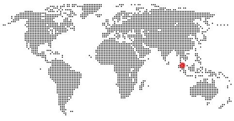
The volcano Sinabung is located in the north of the Indonesian island of Sumatra and is one of the subduction zone volcanoes of the Sunda Arc. Only 25 km away there is the supervolcano Toba.
The 2,460 m-high stratovolcano Sinabung arose in the Holocene and has 4 craters in its summit area. These are arranged in a row along a zone of disruption running from North to South. The crater at the south end of the disruption is the most recent crater, and it is from here that the eruptions that started on 27th August 2010 began.
Sinabung pictures
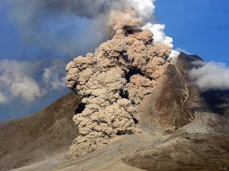
Gunung Sinabung produced andesitic and dacitic lavas. If the lava exits effusively, lava domes and brief lava flows are created. When the lava domes collapse, pyroclastic flows are formed. These flow through valleys in the volcano's flanks and can travel distances of up to 5 km.
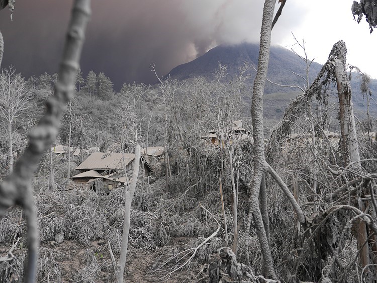
The Sinabung was dormant for more than 400 years. In the late summer of 2013 it awoke with a series of explosive eruptions. Villages and farms on the volcano's flanks were evacuated. In December, a dome began to grow and a few weeks later, pyroclastic flows erupted. These flowed in a south-easterly direction. Falling ash destroyed many houses in the East and West of the volcano. There was a danger of lahar.
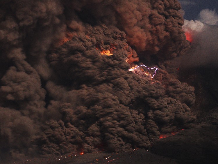
On 01.02.2014, a large pyroclastic flow arose. At least 14 people were killed. 50 people went missing, 3 were seriously injured.